Caribbean Watch
Caribbean watch reports current ocean conditions in the Caribbean Sea, inferred from the Mercator Ocean reanalysis dataset. Separate pages focusing on regions of the Caribbean Sea are linked to below. The regional Caribbean basin result is posted daily to the twitter feed @caribbean_watch.
Physical oceanographic conditions in the Caribbean Sea are considered. Here we use a combination of data from Mercator Ocean and a state-of-the-art, fine-scale hydrodynamic model of the full Caribbean Sea region using ADCIRC. The former is an operational 1/12º global ocean physics and analysis data set. This assimilates data using the NEMO ocean model (version 3.1, at a horizontal spatial resolution of 1/12º, 3-9 km) from various sources, including satellite and shipboard observations, to give the best, continuous approximation of ocean behaviour in space and time, over the period 2007-2024.
Caribbean basin
Current conditions
Please note that the nighly forecasts that usually appear here are currently unavailable. They will be again. Please check back for updates.
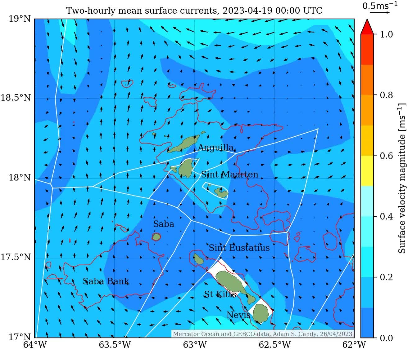
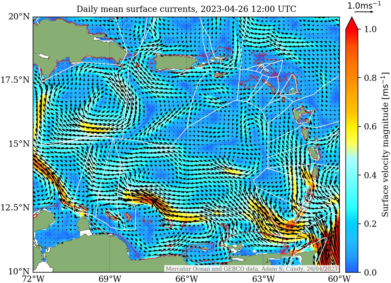
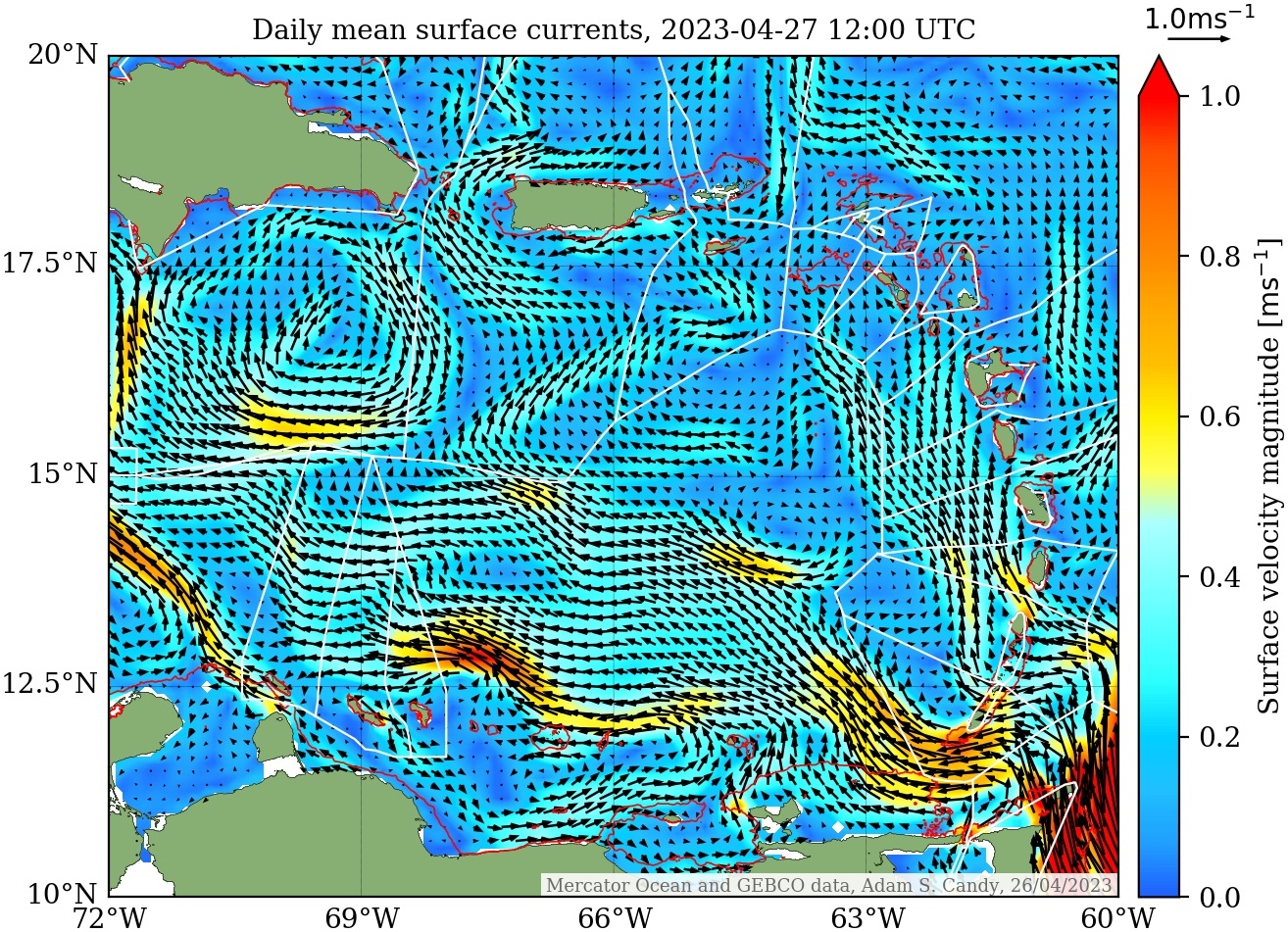
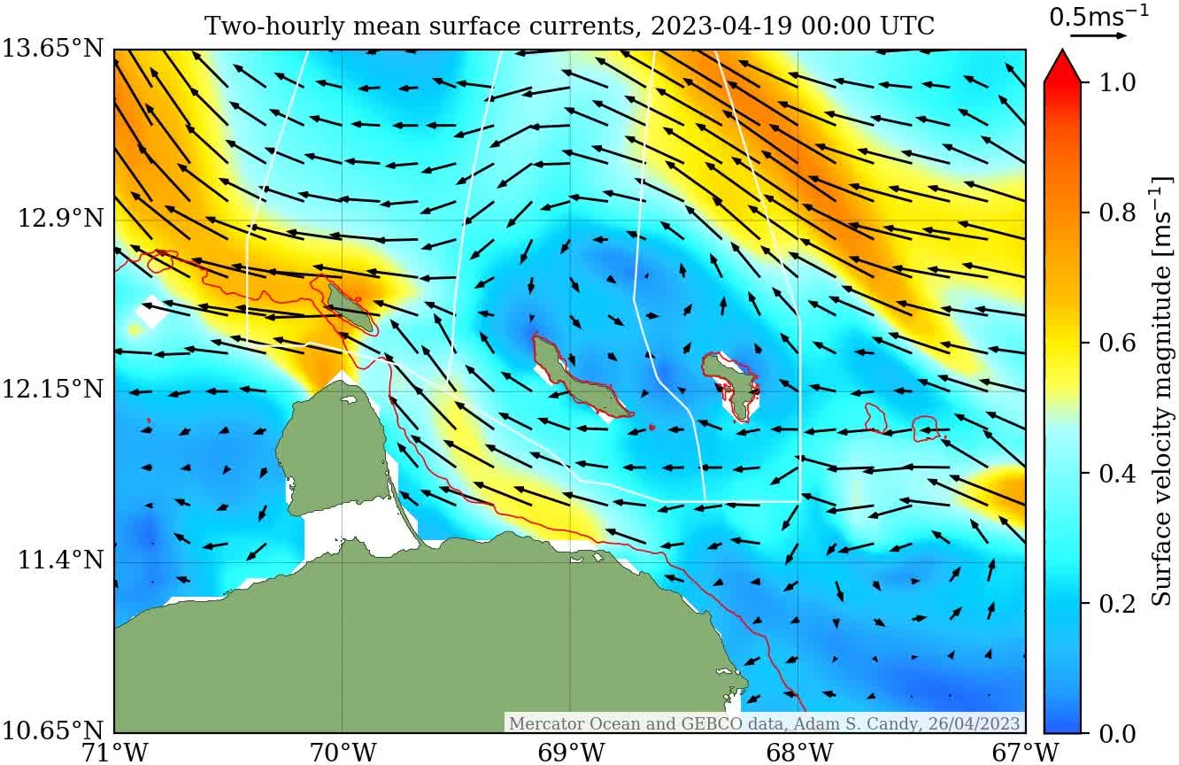
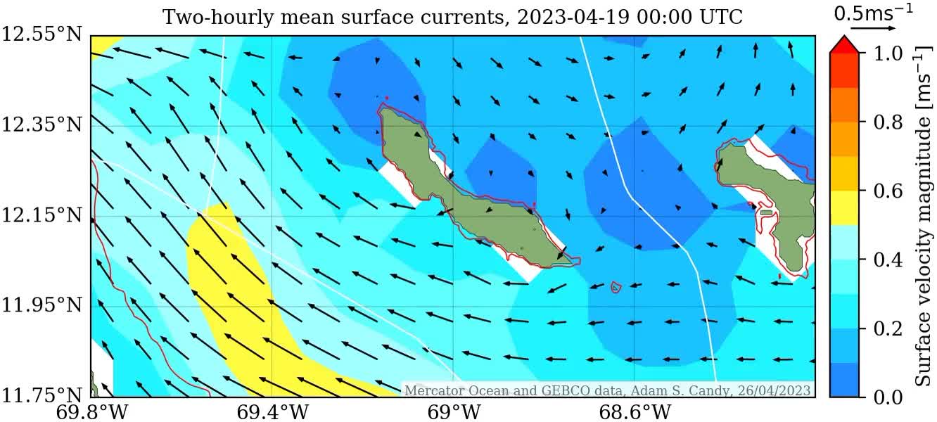
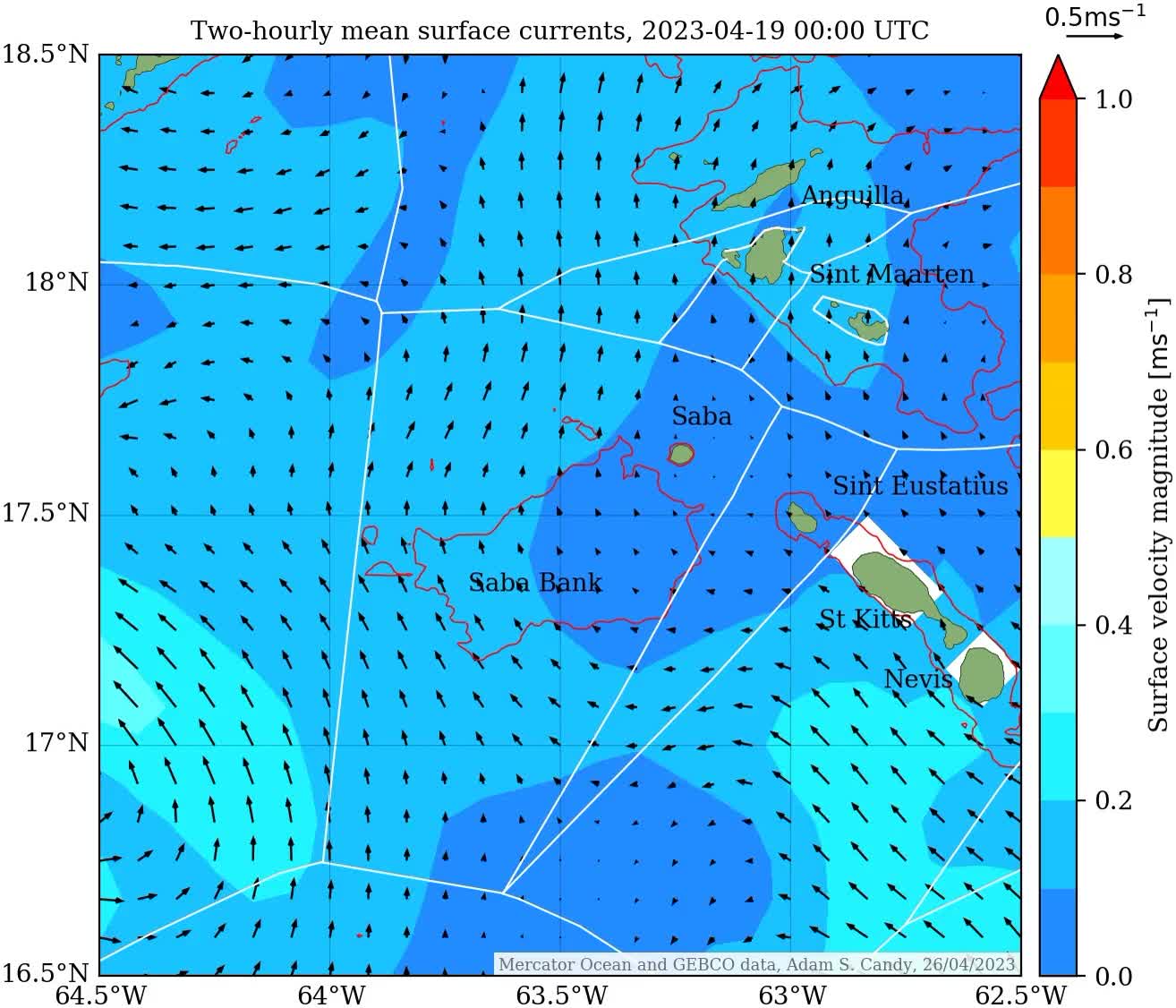
Up to date two-hourly mean surface currents of the regional Caribbean Sea, either side of 26th April 2023: from a week before on 19th April 2023 and forecast nine days ahead to 5th May 2023.
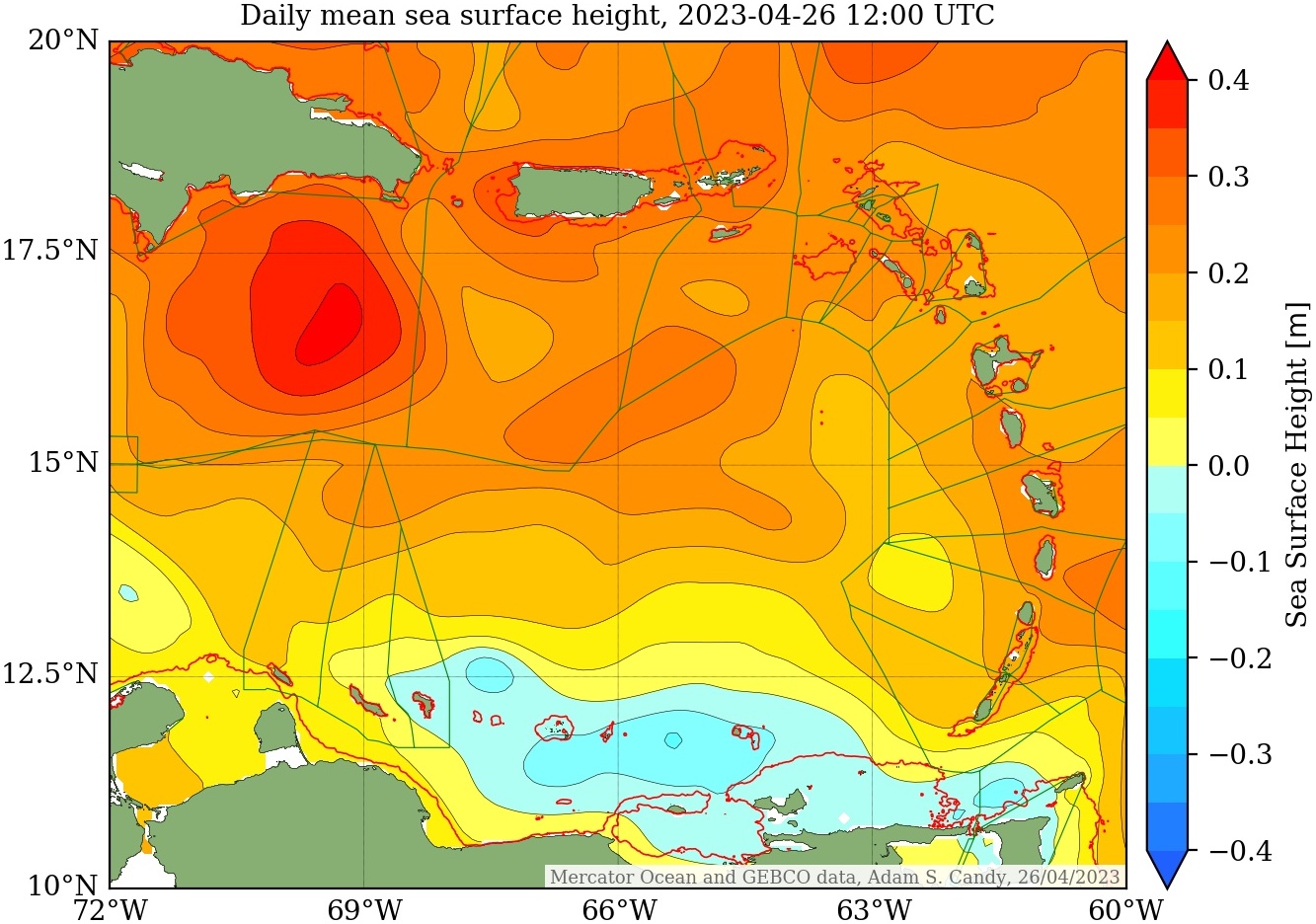
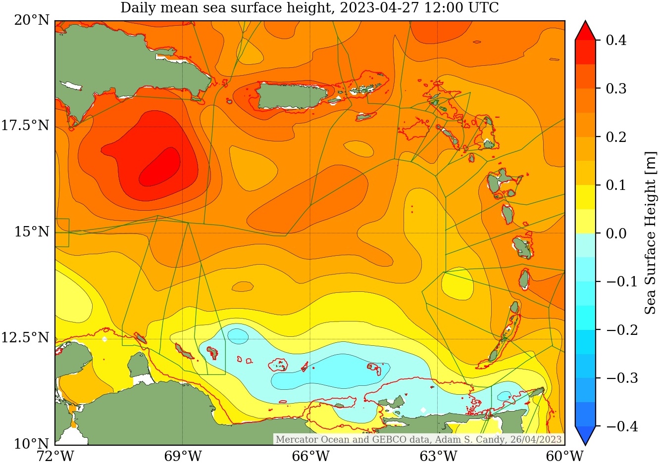
Up to date two-hourly mean sea surface height of the regional Caribbean Sea, either side of 26th April 2023: from a week before on 19th April 2023 and forecast nine days ahead to 5th May 2023.
Regions of the Caribbean Sea
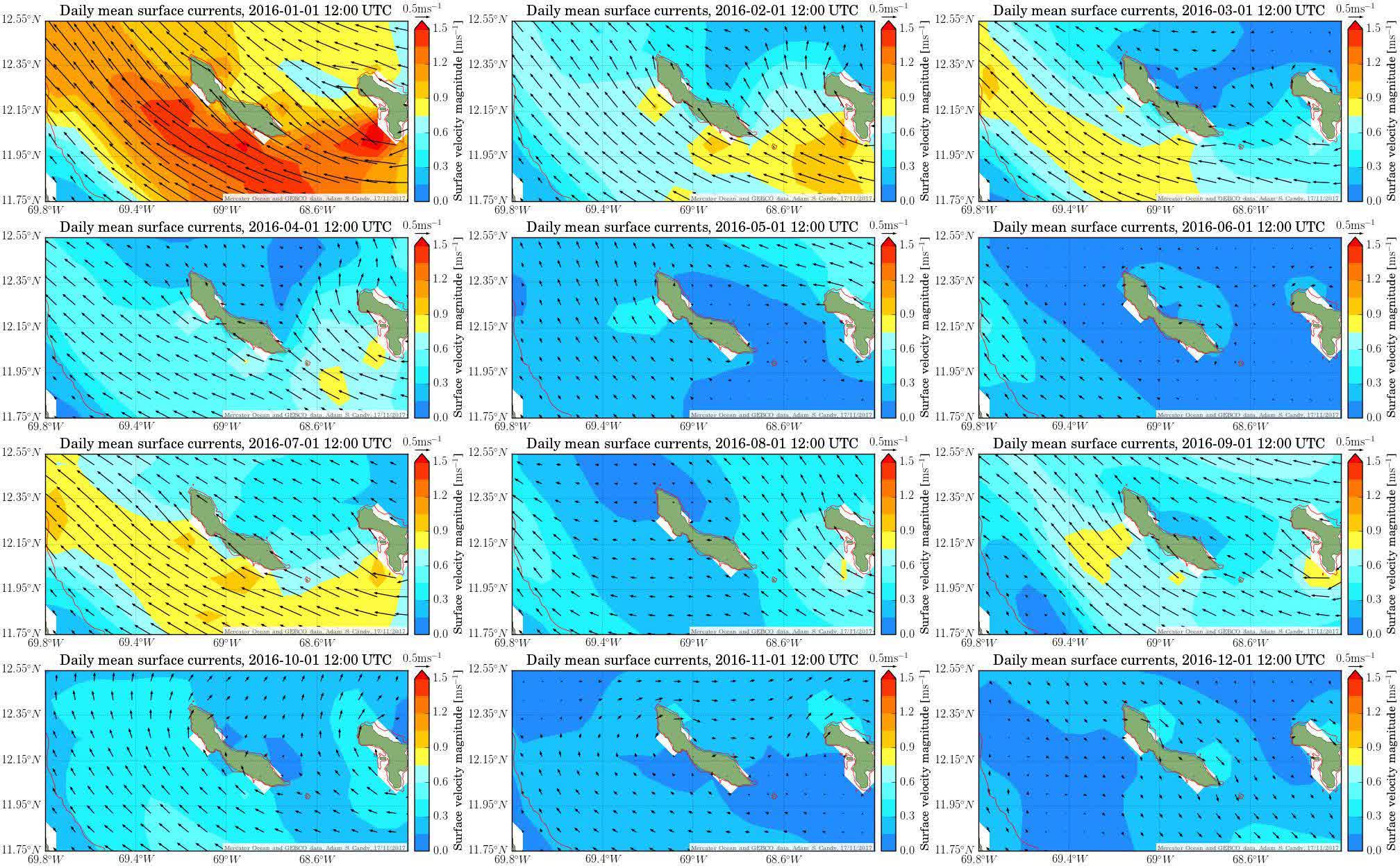
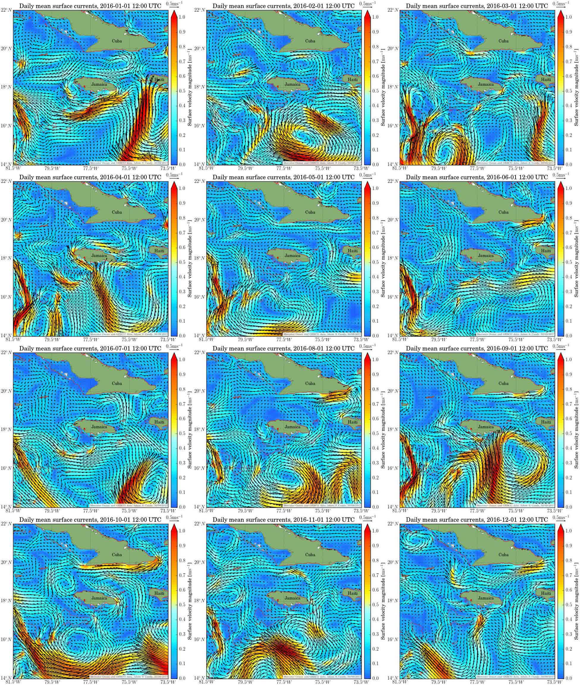
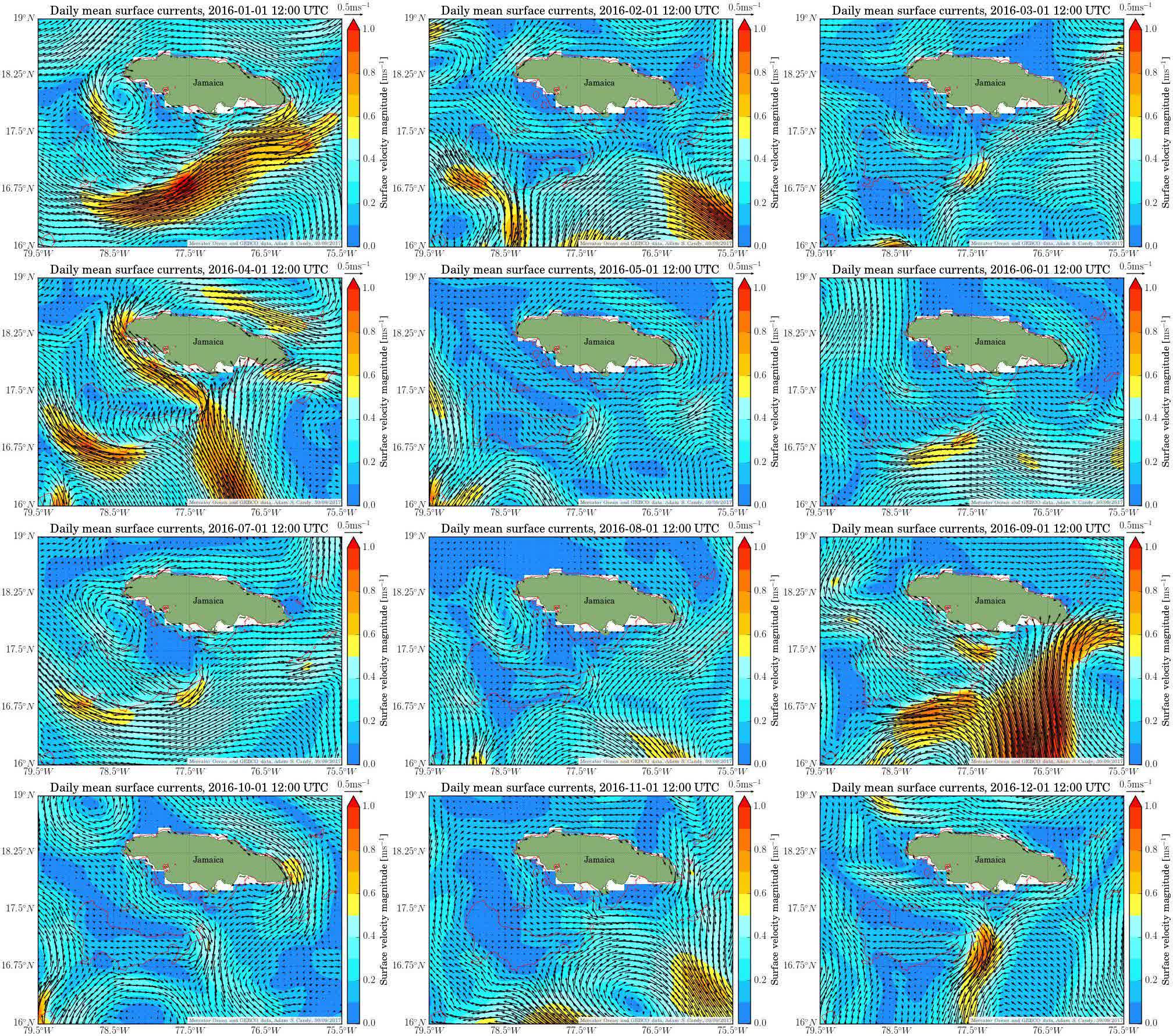
Further analysis for regions of the Caribbean Sea, including daily-updated current conditions and longer-term annual datasets.
- CaribbeanWatch: Curaçao
- CaribbeanWatch: Sababank
- CaribbeanWatch: Jamaica

- CaribbeanWatch: Sint Maarten